Back to all Use Cases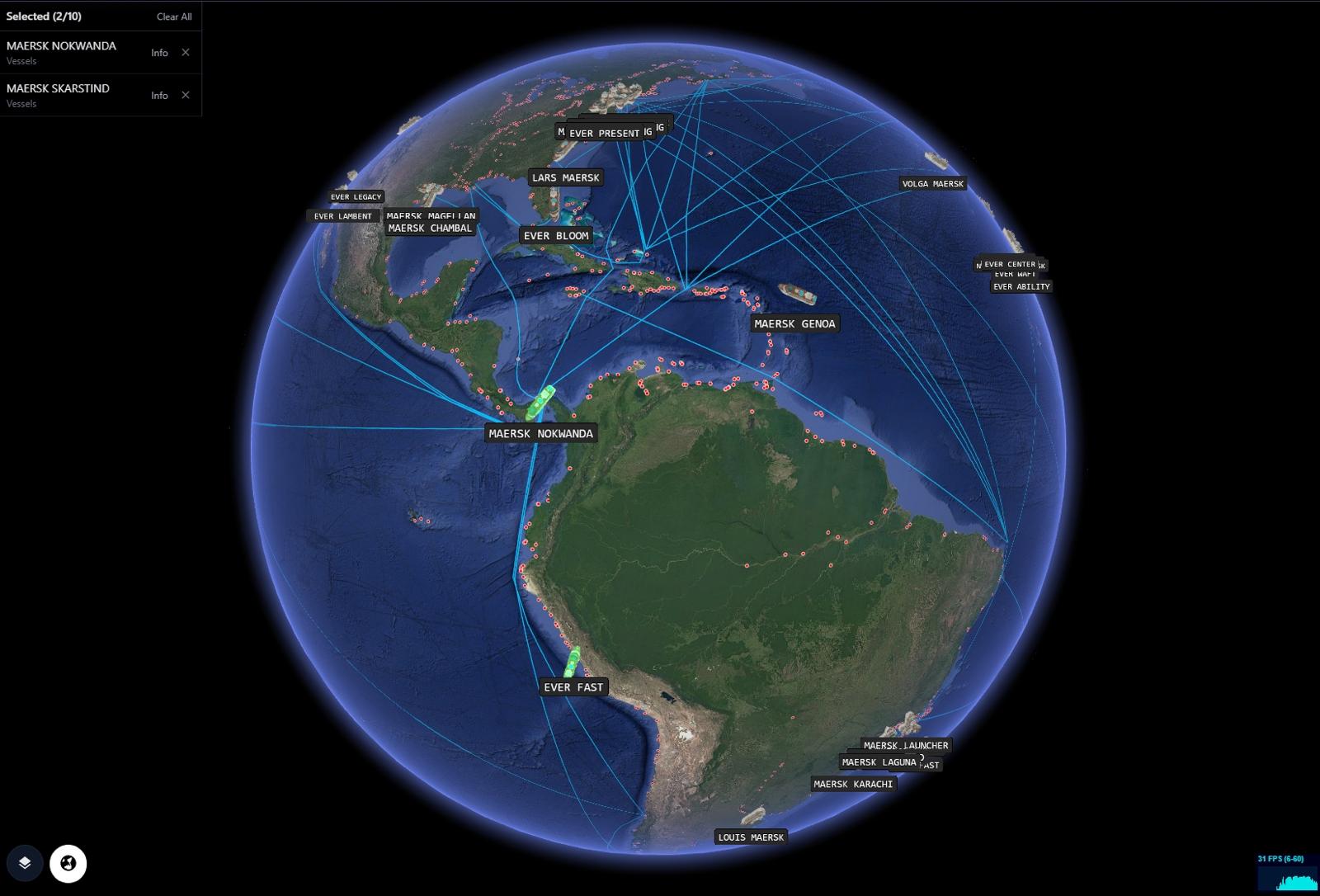 Talk to us →
UC02Maritime
🚢 Ships & Fleets on Water
Track global maritime operations from a single live globe view. AIS-powered vessel tracking, port congestion indicators, ETA calculations, and geofenced risk zones give fleet operators complete situational awareness.
Demo Pages
What you'll see
- ✓Live AIS vessel positions and route tracks
- ✓Port status and congestion zones
- ✓ETA estimation with wind/current overlay
- ✓Risk zone geofencing and alerts
- ✓Cargo type and flag state filtering
- ✓Historical route replay
Tags
MaritimeAISPortsETARisk
Want this for your data?
We can build a custom version of this use case for your stack.