Back to all Use Cases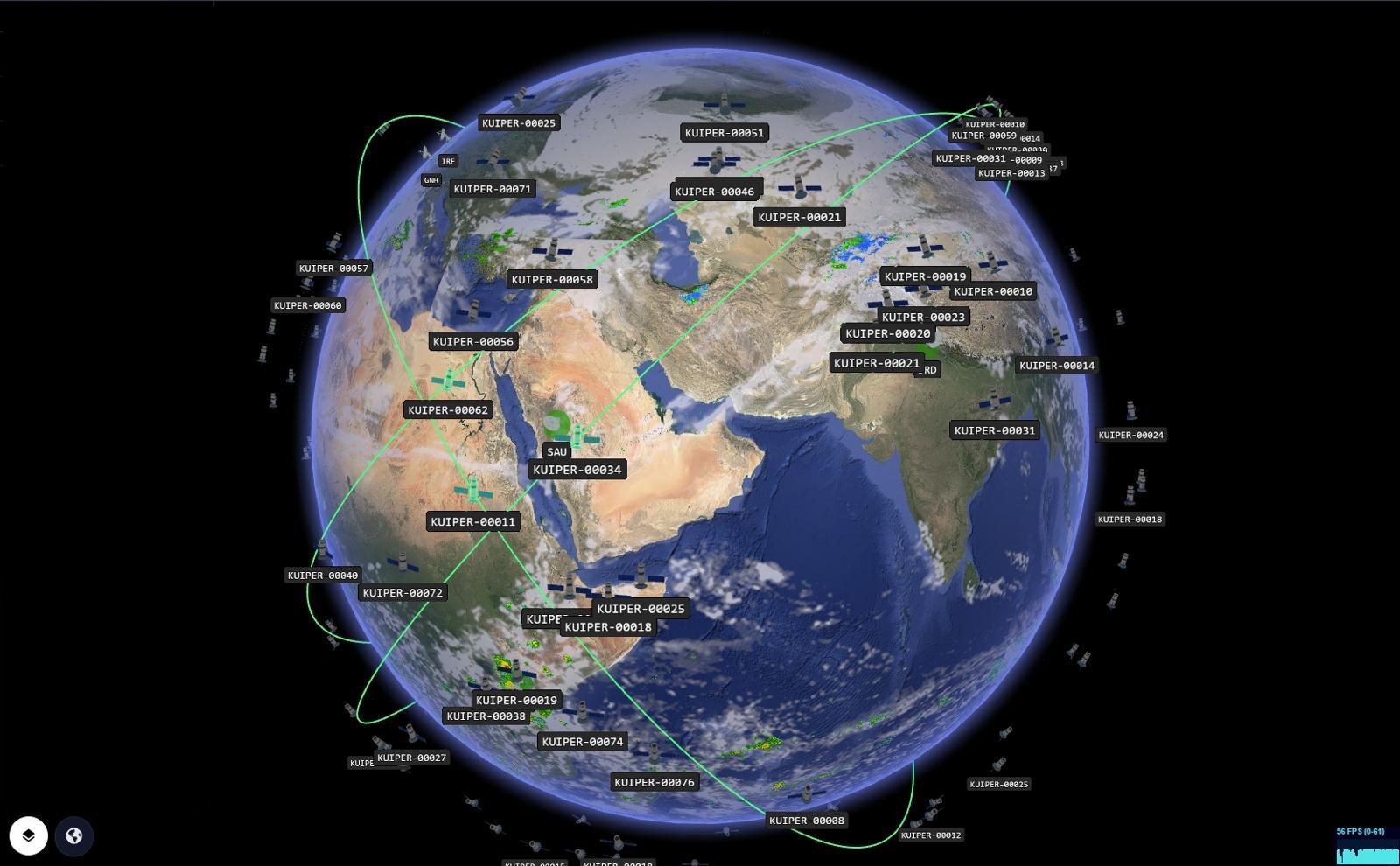 Talk to us →
UC01Telecom / NTN
🛰️ Satellite NTN + Ground Stations
Visualize full non-terrestrial network operations in real-time 3D. Layer satellite orbits, ground station locations, beam footprints, and signal health metrics on a live globe — purpose-built for telecom NOC teams managing NTN infrastructure.
Demo Pages
What you'll see
- ✓Live satellite orbit tracks and coverage footprints
- ✓Ground station locations with uplink/downlink status
- ✓Beam footprint visualization per service area
- ✓Signal strength and latency heatmaps
- ✓Multi-constellation support (LEO, MEO, GEO)
- ✓NOC alert integration ready
Tags
NTNSatellitesTelco OpsGround StationsBeam Footprints
Want this for your data?
We can build a custom version of this use case for your stack.