Back to all Use Cases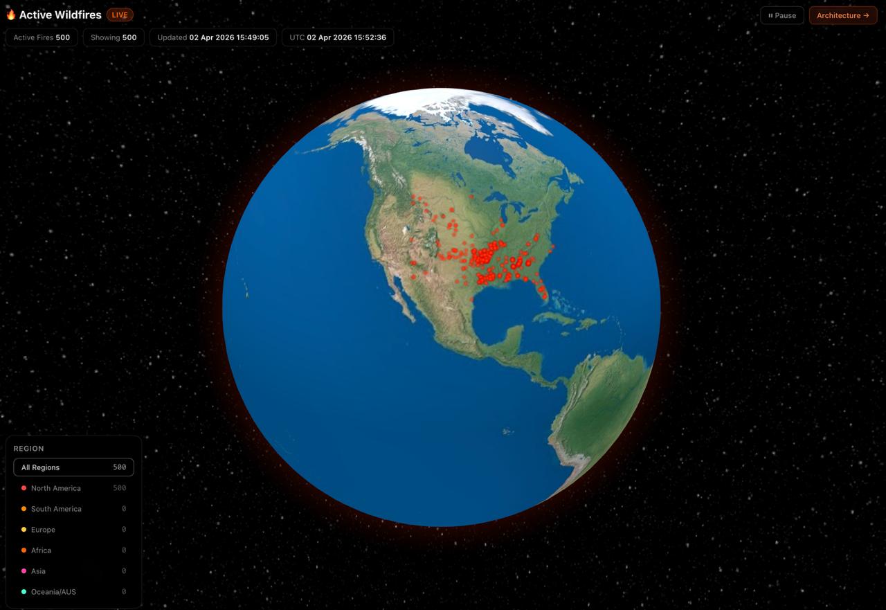 Talk to us →
UC18Environment
🌍 Global Natural Hazards Monitor
Monitor global natural disasters in real-time on a WebGL globe. Data fused from NASA EONET (wildfires, storms, volcanoes, sea ice) and GDACS (earthquakes, tropical cyclones, floods). 6 hazard categories, 4 severity tiers, 15-minute auto-refresh, 177 country borders with per-country hazard breakdown. Filter by hazard type and severity, click any event for detail + source link.
Demo Pages
What you'll see
- ✓Dual data source: NASA EONET v3 + GDACS real-time hazard feeds
- ✓6 hazard categories: wildfires, storms, volcanoes, earthquakes, floods, icebergs
- ✓4 severity tiers: critical → high → moderate → low with color + altitude encoding
- ✓15-minute auto-refresh — always current data
- ✓177 country borders with per-country hazard stats on click
- ✓Click any event for severity, magnitude, source, and direct link to reporting agency
Tags
Natural HazardsWildfiresEarthquakesStormsVolcanoesFloodsNASA EONETGDACSReal-TimeWebGL
Want this for your data?
We can build a custom version of this use case for your stack.